
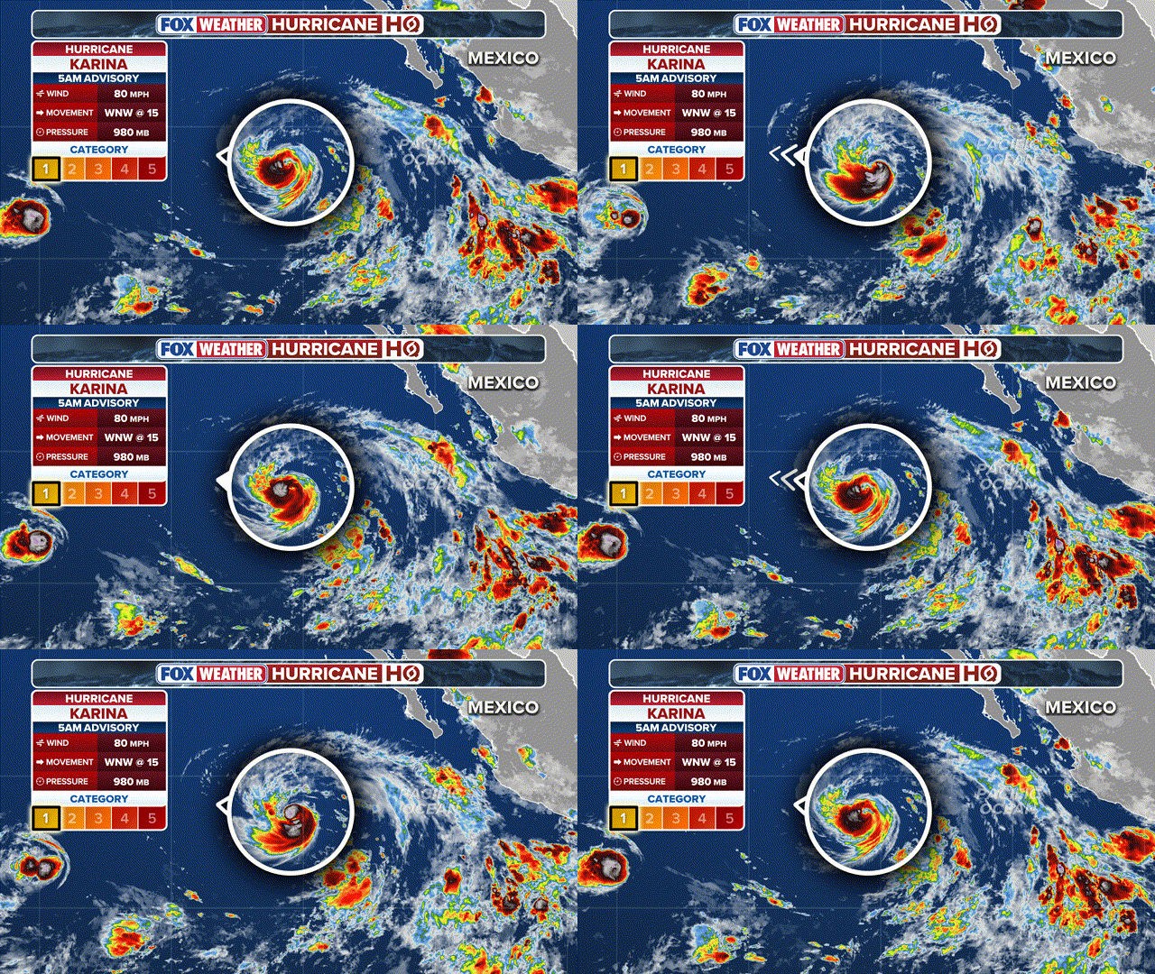
Hurricane Karina has formed in the Pacific, sustaining winds of 80 mph, making it a Category 1 storm, and is expected to strengthen into a major Category 3 hurricane sometime this week. FOX Weather Meteorologists Michael Estime and Melanie Black break down the latest tracking and forecast impacts:
THE TAKEAWAY
- Karina became a hurricane on Sunday morning.
- The NHC expected Karina to be a major hurricane by early this week.
- Karina will not have any direct impacts on land.
Hurricane Karina formed in the Pacific on Sunday and is expected to continue strengthening into a major hurricane.
The National Hurricane Center (NHC) said that Hurricane Karina reached 80 mph, officially designating it as a Category 1 hurricane.
BREWING SUPER EL NIÑO EXPECTED TO BE STRONGEST ANYONE ALIVE ON THE PLANET HAS EVER EXPERIENCED
(FOX Weather)
Once a tropical storm’s winds reach 74 mph, it is called a hurricane and maintains the same name it had when it was a tropical storm.
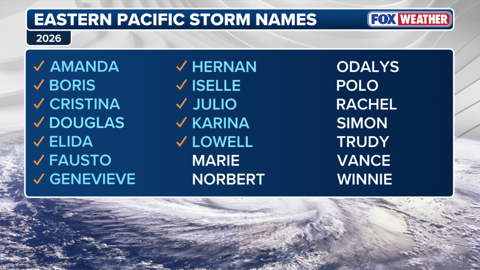
Karina was declared a tropical storm on Thursday, forming just two days after Tropical Storm Julio, which quickly dissipated.
Hurricane Karina is moving west-northwest at 15 mph and is currently being monitored by the NHC for further development.
The NHC said swells generated by Karina will begin to affect portions of the coast of southwest Mexico and the Baja California Peninsula over the next couple of days. These swells are likely to cause life-threatening surf and rip current conditions.

(FOX Weather)
Karina is just the latest hurricane to form in the middle of a busy season in the Pacific.
El Niño continues to strengthen, warming ocean waters in the Pacific and fueling tropical activity, while keeping the Atlantic season from thriving.
Tropical Storm Lowell, hot on Karina’s heels, is expected to become a hurricane on Monday.
(FOX Weather)
The Eastern Pacific hurricane season runs from May 15 to Nov. 30.
This story is developing. Check back frequently for updates.


