For 20 years, Google Earth has been one of the most powerful tools used by journalists, governments and investigators to verify events and debunk falsehoods.
For about 24 hours beginning on Thursday, the tool became even more potent, when a six-word instruction — “type whatever you want to see” — allowed billions of Google Earth users worldwide to use a new artificial intelligence feature to create deepfake aerial images.
That wasn’t exactly the company’s intention, of course.
Google wanted its satellite images to help unleash users’ imaginations, like visualizing what an empty lot could look like, or seeing what their neighborhood looked like 100 years ago, or what it could look like 100 years from now.
Instead, the feature led to open-source intelligence researchers, journalists and others showing how easily the tool could be used to generate very realistic nuclear power plants, refugee camps along any border, burned forests, flooded cities and even a fatal car crash.
“Whatever you want to see” became too much for Google to see, and on Friday, one day after heralding the new feature, the company announced that it was disabling it.
“We’ve seen geospatial professionals using this feature for a range of useful purposes, however we’ve also seen people sharing screenshots of generated imagery that appear to violate our policies,” Google said in a statement.
The company said it would work on installing safeguards, a signal that the feature would return.
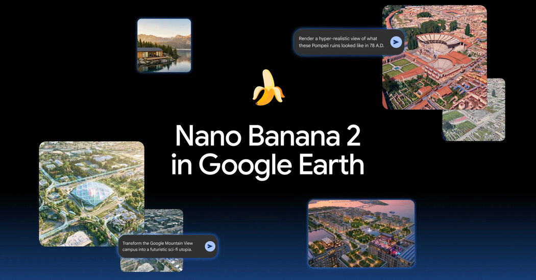
Google had encouraged users to type prompts to bring history to life, like a rendering of ancient Pompeii, or to give locations a “makeover,” like turning the Google campus in Mountain View, Calif., into a science-fiction utopia.
Users could zoom into any coordinates on the planet, click “create image,” and type what they wanted to see, altering the satellite view of that exact physical spot.
The A.I. tool would then generate a photorealistic image using Google’s genuine satellite, aerial and 3-D imagery as its foundation.
The tool was immediately tested, and users quickly learned that there were no safeguards to prevent content that could be harmful.
Among the first to try was Henk van Ess, an open-source researcher, who created a nuclear plant in Iran, a bombed hospital in Gaza and a fatal car crash in Amsterdam.
National Public Radio followed by generating images of a flooded U.S. Capitol and fires at a strategic oil terminal in Iran.
Many others tried their hand at it. The feature transformed what was a long and laborious process to create a doctored satellite image into a single-sentence prompt.
The world got a peek at what disinformation with no barriers looks like, and most who caught a glimpse did not like what they saw.
As Mr. van Ess and others pointed out, the fake images carry instant credibility because Google Earth is a universally trusted base line of truth.
The fake images match the lighting, angles and colors of real images, so the fakes were perfectly camouflaged.
“A forgery built that way doesn’t have to be convincing on its own,” Mr. van Ess wrote.
Though Google said each A.I.-generated image included a digital watermark to identify it as such, a simple screenshot allowed some images to slip past A.I.-detection tools.
The screenshots violate Google’s policies, the tech giant said.
“It’s important to note that generated images didn’t appear in the main Google Earth experience for others to see and were watermarked as A.I. generated,” the company said in its statement. “We know that people uniquely trust Google Earth for a reliable view of the world.”
That was certainly the case in 2014 when Russia’s Defense Ministry held a news conference where it presented satellite images of the downing of Malaysia Airlines Flight 17.
Nearly 300 people were killed, and Russia denied its involvement, using doctored images to “prove” its case.
But researchers, including the online investigative site Bellingcat, exposed the photos as fakes. They showed that it was a Russian missile launcher belonging to an active Russian military unit that had fired a missile at the Malaysian jumbo jet.
The researchers used Google Earth images because they are considered unimpeachable evidence.
The Bellingcat article was headlined: “Who to Trust, Google or the Russian MoD?”