FOX Weather is your Hurricane HQ.
(FOX Weather / FOX Weather)
Last updated at 9 a.m. on July 30
A channel of strong upper-level winds is forecast to remain over the Caribbean for the foreseeable future, which will prohibit any tropical systems from organizing there. Saharan dust and dry air dominate the Atlantic. And the water temperatures over the main tropical-development region and the Caribbean remain unusually cool.
In addition, the Madden-Julian Oscillation or MJO, which can enhance or suppress tropical activity, is stuck in suppression mode. The El Niño is coming on so strong so early that it is dominating the atmospheric pattern over the eastern half of the Pacific and the Atlantic.
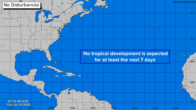
Atlantic Basin on July 30, 2026
(Bryan Norcross)
Rising air over the superheated Pacific waters is spreading out to create hostile conditions over a good part of the tropical-development zone in the Atlantic. There’s no reason to think the pattern is permanent, but every factor we look at is detrimental to development right now.
While the Atlantic and the Caribbean are relatively cool, the waters around Florida are unusually warm. That’s contributing to the extra steamy weather this summer. The National Weather Service is warning of a moderate to major heat risk across Florida and west through Louisiana along the Gulf Coast. Other parts of the country are dealing with extreme heat as well.
7 FACTS TO KNOW ABOUT HURRICANES
Stay cool and hydrated. If the weather is miserable, at least feel good that the tropics are calm.