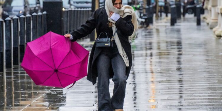
A MET Office map reveals where rain will hit this weekend – after the mercury sank to a bone-chilling -11C.
Saturday will be brighter than the past week, seeing a mix of sunny spells and showers.
A wide band of rain will push south east across Scotland and Northern Ireland on Saturday evening.
It will get cloudier again on Sunday, with gusty winds and outbreaks of rain.
The rain will spread to most of inland Scotland as well as northern England and north Wales.
But the weather will turn a little milder than it has been of late, forecasters said.
It comes after the mercury plunged to a punishing -11C in the Scottish Highlands overnight.
Today will be cloudy for many with patchy drizzle and hilly fog in central and eastern parts.
There will be brighter skies in the far west and across much of Scotland, where fog could linger all day.
Wherever you are in the country, today will feel rather cold once again.
It will be largely cloudy overnight, with more spells of light rain and drizzle at times.
But there will be some clear skies in the north, where a frost is possible.
Tomorrow will be another cloudy day with patchy light rain and drizzle possible.
A band of rain with freshening winds will push across northern Scotland in the afternoon.
Long-term forecast for Christmas and New Year
Monday December 16 – Wednesday December 25
Monday looks like a mainly dry if largely cloudy day.
However, the far north will see some rain, especially northwest Scotland, with some light rain and drizzle likely for west-facing hills elsewhere.
All parts will be mild. Around the middle of next week, low pressure may dominate, with a spell of mild, wet and windy weather for most places.
Thereafter, while high pressure may try and build at times, especially in the south late in the period, the more likely scenario is for an unsettled regime to dominate.
Spells of wind and rain, perhaps with some hill snow in the north, are likely, followed by blustery showers, these most frequent and perhaps wintry at times in the northwest.
Temperatures will vary around average, with oscillations between colder and milder interludes.
Thursday December 26 – Thursday January 9
Mainly unsettled conditions appear more likely than not for most, with spells of wind and rain followed by showers affecting most areas but especially towards the north west of the UK.
Some sleet and snow is also likely at times, especially on high ground in the north.
However, there are also some signs that more settled conditions are possible at times, these perhaps most likely across the south late in December and into early January.
Temperatures are likely to be around or slightly above average overall, but with any more settled interludes bringing a risk of frost and fog.


