Tropical Storm Erin formed in the central Atlantic Ocean on Monday morning and is forecast to strengthen, likely becoming the Atlantic season’s first major hurricane.
The National Hurricane Center said that Tropical Storm Erin’s winds reached 45 mph, officially designating it as a tropical storm.

A tropical storm is a tropical cyclone that has maximum sustained winds from 39 to 73 mph and is a step above a tropical depression.
DOWNLOAD THE FREE FOX WEATHER APP
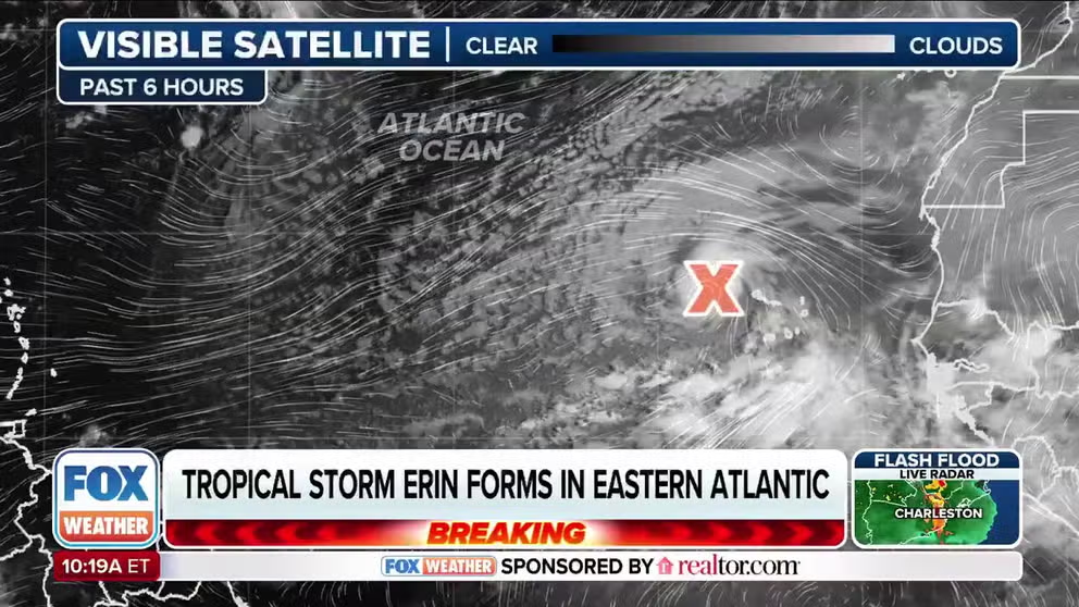
Tropical Storm Erin is currently located west of the Cabo Verde Islands and is currently being monitored by the NHC for further development.

A NOAA satellite image shows Tropical Storm Erin.
(NOAA)
Over the next few days, Erin is forecast to continue moving west at 15-20 mph across the eastern and central tropical Atlantic.
The latest forecast track shows Erin moving north of Puerto Rico by this weekend with gradual strengthening to a hurricane. Erin could become the first major hurricane of the 2025 Atlantic hurricane season if it reaches Category 3 strength. A hurricane with maximum sustained winds of 111-129 mph is considered to be a Category 3 cyclone on the Saffir-Simpson Hurricane Wind Scale.

Before even becoming a tropical storm, this system, formerly known as Invest 97L, brought heavy rain and storms to the Cabo Verde islands. The local government said flooding damaged roads and private property. There are reports of people missing and fatalities from these storms.
On Monday, the Cabo Verde government declared a state of calamity in St. Vincent and St. Anthony.
The Atlantic hurricane season runs from June 1 to Nov. 30.


