A significant Pacific storm is making its way toward Southern California and could bring “weak tornadoes” to the region, weather officials said.
“A stronger storm system will affect the area tonight through Thursday night, with periods
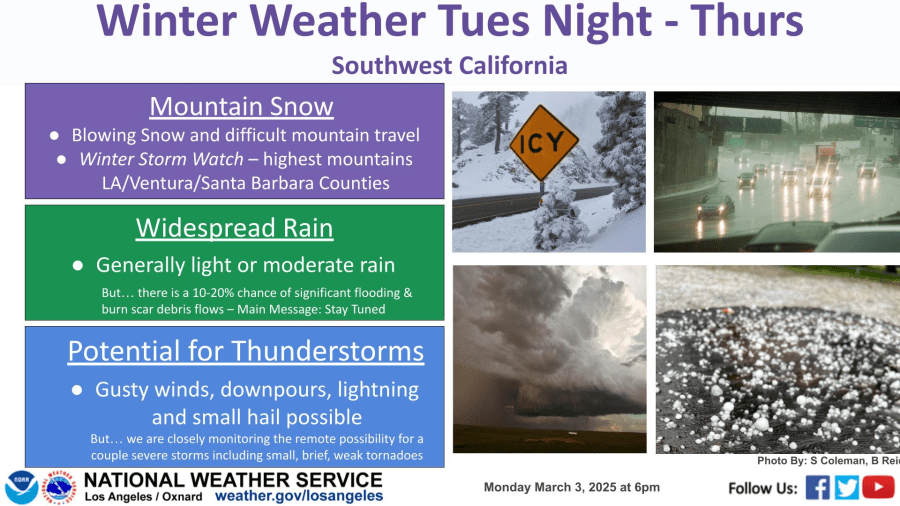
of moderate to locally heavy rain, mountain snow, and gusty winds,” the National Weather Service (NWS) stated in its forecast discussion Tuesday morning.
“We are closely monitoring the remote possibility for a couple severe storms including small, brief, weak tornadoes,” the NWS stated.
Rain is forecast to begin overnight Tuesday into Wednesday morning along the Central Coast before spreading south and east through the afternoon.
The heaviest showers are likely to arrive with the “second piece of the storm” on Thursday, according to the NWS.
The system is expected to bring between one and three inches of rain to the coastal and valley areas by the time it exits the region late Thursday or Friday. “The mountains are looking at between 6 and 12 inches of new snow,” KTLA’s Kirk Hawkins said.
The NWS is also calling for potential thunderstorms and a 10 to 20% chance of significant flooding and burn scar debris flows.
Dry, sunny skies are expected to return as we head into the weekend but more rain is in the forecast.
“There are two chances of rain next week,” Kirk said.


