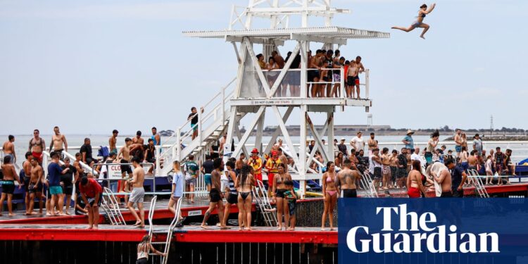
Winds from the Southern Ocean will bring relief on Monday to parts of south-eastern Australia sweltering through a three-day heatwave.
A heatwave warning for South Australia, New South Wales, Victoria and Tasmania was issued by the Bureau of Meteorology for the weekend as temperatures were expected to spike in some parts to 40C.
Temperatures in Sydney’s city centre were expected to reach 31C on Sunday, with much higher readings forecast for surrounding suburbs. Maximums were expected to hit 38C in Richmond, 37C in Penrith and 36C in Liverpool and Campbelltown.
In Melbourne, the mercury was forecast to reach 38C, with maximums climbing as high as 40C at Tullamarine and Watsonia, and 39C in Scoresby and Yarra Glen – and similarly high temperatures forecast for regional areas.
Mildura was expected to reach 42C, with Bendigo and Shepparton hitting 40C and the Latrobe Valley and Albury-Wodonga rising to 39C.
As of 11am on Sunday, temperatures in Sydney had reached 28.9C at Sydney airport, 28.9C at Penrith and 29.7C at Richmond. In Melbourne temperatures hit 31.7C at Olympic Park, 35.4C at Avalon and 34.4C at Laverton.
Across the other capitals, the expected maximums were 34C in Darwin, 33C in Adelaide, 32C in Perth, 29C in Brisbane and 23C in Hobart, with inland areas including Alice Springs expected to reach 42C.
A senior BoM meteorologist, Miriam Bradbury, said heatwave conditions were being created by winds sweeping down across the continent from the north-west, dragging heat from the Pilbara, Kimberley and interior regions to the south-eastern states.
“This is pretty typical summer weather, we tend to get this happening at least once a week or so with a front moving through,” Bradbury said. “This is a particularly hot one – one that is pushing the fire dangers as well.
“We are seeing extreme fire dangers issued across parts of Victoria, much of Western Australia and parts of the south-east are seeing elevated fire risk.
after newsletter promotion
“It’s really something to be aware of as people are getting out and about.”
Conditions are expected to shift on Monday with a change in winds travelling up from the Southern Ocean, drawing cold air up through Victoria and bringing much-needed relief, including to fire crews working on the fire front in the Grampians.
Bradbury said South Australia, Victoria and Tasmania should wake up to a much milder day but residents further north along the New South Wales coast would have to wait longer for relief, with conditions easing going into Tuesday.
Queensland and northern Australia were facing patchy, persistent storms. Normally the region receives rainfalls of between 30mm to 60mm but Bradbury said a “standout” observation had been a sticky storm that formed over Mossman, near the Daintree in far north Queensland.
“We’ve seen more than 200mm of rain overnight, and when we look down the road, we’ve only got 12mm,” she said.


