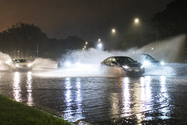
Severe storms and multiple tornadoes caused devastation across the Midwest on Monday night and into Tuesday morning, leaving more than half a million energy customers without power, as fears rise over a lingering risk of floods.
Almost 330,000 energy connections were lost in Illinois, according to PowerOutage.us, as well as 188,000 in Indiana and nearly 20,000 in Iowa.
The National Weather Service in Chicago said: “This storm is producing multiple tornadoes at the same time!” A tornado was confirmed in Des Moines, Iowa.

The weather service’s Chicago team had to take shelter as the storm passed over just before 10.30 p.m.
Chicago’s O’Hare Airport ordered a ground stop while local trains were canceled. The weather service said there were power flashes spotted at the airport because of likely tornadoes, during some of the most intense storms to hit the area in recent times.
“It’s been years and years since we’ve seen something like this,” said Kevin Jeanes, a meteorologist with the NBC Chicago.
Tornadoes also touched down in Chicago on Sunday, marking a relatively rare event: Before Sunday, only six had been reported in the last 70 years, meteorologist Paul Deanno said.
The Chicago Fire Department warned that several live power lines had been knocked down and urged people not to approach them, as the lines may be charging wet ground. There were no reports of injuries, the department said in a post on X.
Weather watchers in Oswego, west of Chicago, captured footage of an enormous funnel cloud just after 10 p.m. Monday. The weather service later confirmed a tornado there as well as on in Sugar Grove, moving toward Aurora.
Footage posted on social media showed warning sirens wailing in downtown Chicago, as well as heavy rain and lightning striking trees in the suburb of Mokena to the south.
Hart Turner posted video to TikTok from his apartment overlooking the Chicago city skyline and said: “That is the scariest wind I’ve ever heard in my time in Chicago. Oh man, my heart is still pumping.”
Police in Joliet warned of downed power lines and trees, with many roads blocked. Motorists were urged to use “extreme caution.”
The severe weather is set to move south Tuesday night into the central Plains and the Mississippi and Ohio valleys.
This bout of storms is caused by a cool air mass from Canada meeting the heat dome that has brought extreme temperatures across much of the Lower 48 in recent weeks, the weather service said.
Some relief from the heat is on the way, however: “A refreshingly cool and pleasant air mass with highs in the 70s will overspread the northern Plains by Wednesday,” the weather service said.
Meanwhile in Texas, almost 150,000 people were still without power, mostly in the Greater Houston area, eight days after Hurricane Beryl made landfall.
Regional energy supplier Centerpoint said it had fixed 2 million connections and expected 98% of those who lost power to be reconnected by the end of Wednesday. In sweltering heat, locals have been sleeping in cars and selling valuables to get through the blackout.
Over the weekend, Texas Gov. Greg Abbott challenged the company to provide details on how it would improve its disaster preparedness policies in future by the end of the month.


