A MAP has revealed exactly where the heaviest snow is expected to fall in the UK as Arctic air sweeps across the nation.
The Met Office has issued yellow weather warnings of snow and ice for the north of the UK as freezing air blows in.
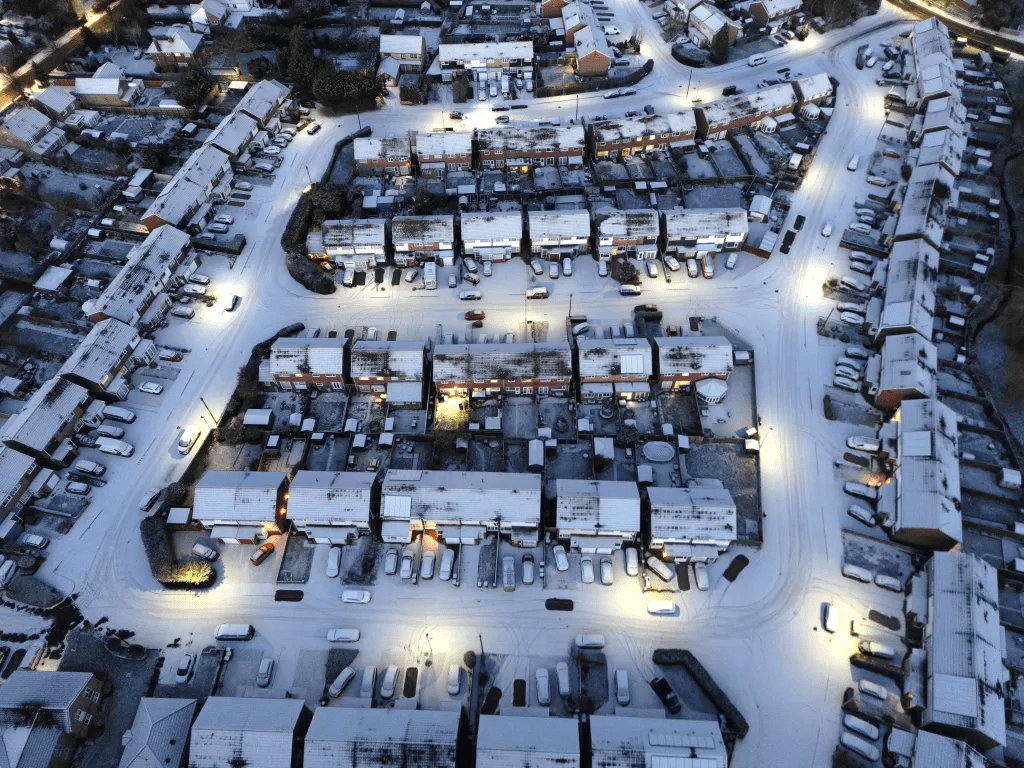
The forecaster has said up to 10cm of the white stuff is predicted in some areas as the mercury plummets.
A yellow weather warning will be in force in northern England from 7pm on Thursday until midday the following day.
The warning covers North East and North West England, part of the Midlands and Yorkshire and Humber.
Another warning is in place covering most of Scotland from 4pm on Thursday until midday on Friday, and


Later in the week, forecasters warn that snow showers and icy roads could lead to some travel disruption.
South of the border, the UK Health Security Agency has issued a yellow cold health alert for East Midlands, West Midlands, North East, North West, Yorkshire and The Humber.
In England, snow is expected to fall initially over higher hills, before starting to fall at lower levels through Thursday evening, said the Met Office.
Forecasters predict that any settling snow will mainly be confined to high ground.
But the Met Office said that 2-5cm is possible above 200 metres.
And a few locations above 300 metres may see as much as 10cm, according to the forecaster.
The rain and snow are expected to clear south during the early hours of Friday, though temperatures will fall quickly to around 3 to 6C below the average.
This will lead to ice on untreated surfaces and dangerous road conditions in some places.
The Met Office predicts that in Scotland snow showers affecting high ground are expected to start falling to low levels through Thursday evening and overnight.
Rain will fall as snow initially over higher ground before reaching to lower levels through Thursday night.
By Friday morning there may be 1-2cm on low ground while on hills above 300 metres (984ft) accumulations of 2-5cm are possible, and up to 10cm “very locally”.
The warning covers all of Scotland apart from westerly parts of the Hebrides and Argyll and Bute.
Met Office spokesman Grahame Madge said: “Currently we’ve got warnings out for parts of Scotland, particularly the east and parts of the south-west west of Glasgow.
“Those are rain warnings, but increasingly, there will be a bit of snow mixed in with those as the conditions start to cool.
“Over the next few days, and beginning in northern Scotland really from today, we’ll start to see an incursion of an air mass called Arctic maritime air, and that will bring temperatures down.
“That will begin to extend down southwards from Scotland into parts of northern England, possibly getting further south than that by the weekend.
“There may be some snow showers to lower levels. So the snow and ice warnings that we’ve issued at the moment cover pretty much Scotland and Northern parts of England.
“There may be some snow showers a little bit further south than that.
“We’re not expecting any particularly impactful snow and the conditions will be quite brief before we get another system coming in from the Atlantic over the weekend, but for the next few days, it will feel quite a bit different, as we’ve got colder air coming in.”


