
A study late in the last administration concluded that using federal land to build windmills and lay out solar panels could generate a lot of electricity. Thousands of gigawatts. With how they developed the estimates, the Federal Drive with Tom Temin turn to a senior energy analyst with the National Renewable Energy Laboratory, Trieu Mai.
Tom Temin And let’s start with the bottom line. How much electricity could be generated under this study? And then we’ll get into how you did it.
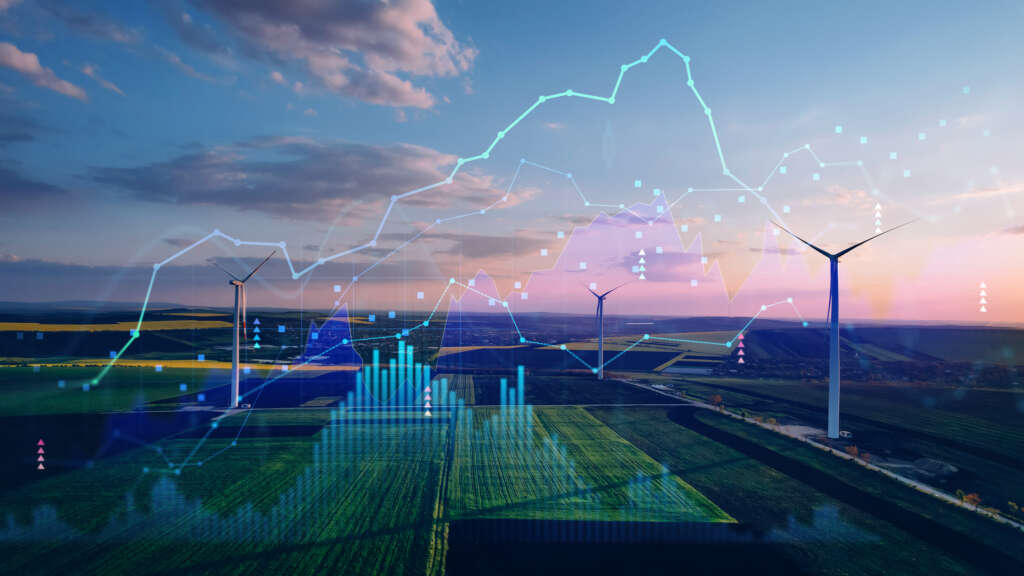
Trieu Mai Yeah, there’s the two complicating factors here. It’s how much could be which is the total potential that you could possibly build if you could use up all the locations. Of course, you would never use all the locations. So we also estimated how much might be deployed in the future under future scenarios. So let me answer the first part first. So the first part is if there are terawatts of electricity, so to give people a sense of scale, the current electricity system in the US, if you count up all the power plants and all their capacity, it’s a little over one terawatt that’s across the whole country. So we’re talking about for the renewables that we looked at, that’s utility scale PV, land based wind and geothermal combined, we’re looking at about six or seven terawatts of electricity that could be produced. The second part is what we estimate would be deployed in the future. Under our scenarios and under, we looked at a lot of sensitivities and uncertainties under our central ones. We’re looking at about 51 to 84GW. So that’s three orders of magnitude lower by 2035 timeframe.
Tom Temin But it’s still enough to keep a few AI data centers running.
Trieu Mai Yeah, a few of them. And if you translate it more to something people could understand, like how many households, typical American households that could produce. We estimate 10 to 20 million homes could be served from the electricity that are produced from that renewable energy.
Tom Temin All right. And how did you come about this estimate? There’s a lot of federal land. Some of it is in the mountains, some of it’s flat and so on. So how did you go about getting to this conclusion?
Trieu Mai That’s a great question and that’s an important part here. Obviously, try to assess all the nuances of every location, all the terrain factors, all the proximity to other buildings and infrastructure that you need is a geo spatially difficult problem. But that’s what we sought out to do. We use our kind of detailed geospatial modeling tools to assess that, and we model every individual road building other infrastructure. We model slope and terrain down to 90 meter resolution for the whole contiguous us. The important part here, though, is not the fancy tools and data that we use, but the people that we worked with. That’s the unique part of this approach, is we actually partnered with folks from the agencies that are involved in land and resource management, got their input, sometimes got their data, got them to review what we assumed and what we looked at to develop these estimates. So it’s a combination of using kind of powerful tools and data about very high resolution, along with working with the right people who understand very complex issues with siting renewables.
Tom Temin And it looking at all this land. And you must have made a decision at some point. Well this area, we could put geothermal, or this area we could put solar panels, and this area we could put a combination of both or windmills. And how did you go about that thought process?
Trieu Mai That’s a really good question. So first there are already a lot of best practices on how to site renewables, where you could locate them, where you can’t, and they span many factors, technical factors. Putting technologies under very difficult terrain or high mountainous terrain could be more challenging, more costly, or sometimes you just can’t do it. So we take out those technical factors. There’s also social factors, proximity to people due to conflict with visual aspects or noise. Things like that we also accounted for. Importantly here is the missions of the various agencies, Department of Defense was involved in here and the Department of Defense actually manages a large swath of land for their military bases, training exercises, aviation radar, etc.. And so we have to account for the conflict of whether or not development of renewables would conflict with those other uses. And we took that into account. And lastly, conservation is another aspect here. So we had Fish and Wildlife Service staff involved in here in their biologists giving us their expertise on endangered species, and where there are critical habitats that you might avoid development. So we rolled in all of these factors together and had to make some decisions after you exclude all those land areas that have these conflicts on what remains for possible development in the future.
Tom Temin We’re speaking with Trieu Mai. He’s a senior researcher at the National Renewable Energy Laboratory. Because there is an esthetic here to cover all of the wilderness with solar panels. Frankly, that’s hideous land use. So that was part of the thinking also.
Trieu Mai Yeah, that’s right. And let me give you an example. So the Forest Service, since you mentioned forest Tom, manages a large swath of land area, over 154 different forests in 20 different national grasslands. And they have other uses for it, including some of their recreational and scenic and visual aspects associated with their lands. So what they don’t have, though, is a nationwide data set that could help them assess the potential across all of these 174/4 in grasslands. And that’s where our scientists and engineers came into play. And we absorbed all of that data and did the computation so that we could share with them. Okay, these forests are primitive lands. You probably don’t want to disturb it. These have already been disturbed and therefore they are potential opportunities for renewable deployment there. So we categorized all of these, systematically approached it and provided that data. We made some assumptions. These remaining lands that have already been disturbed, perhaps are available for development. Obviously, you need to go there to a site by site assessment in the end where you have a real project being process. But at least in our scale nationwide, we were able to scan across the whole country and take this approach.
Tom Temin Right. There’s a lot of factors that go into decision on siting things. And often, I guess you wouldn’t have the permitting issue if it’s federal land, because it’s federal land and there’s no issue on that particular front.
Trieu Mai You do have the permitting issues. You would need the permits from the various land managers. You would need the proper environmental assessments to be done in order to develop. And that’s where the Fish and Wildlife Service helped as well, as I noted earlier. Which is they went into their databases and expertise to see, did your assumption makes sense threatening endangered species in this area and what other permits might be needed to avoid conflict and further risk to these species? So we took that approach as well.
Tom Temin And in just a detail question, in that type of question of can we site here, is it a good idea to cite here? Is it only federal agencies that impinge on their that would get a say so, or would the public also have a say so on whether that prairie or that mountaintop was was used for something?
Trieu Mai Yeah. That’s a great question. And I’m not an expert on the public engagement side, but I do know that separate from our study, the [Bureau of Land Management (BLM)] recently released a Western solar plan. And that was a process that did receive feedback from various other organizations, including from public commenters, I believe. And so we used some of the feedback that they’ve received and kind of address them throughout the other federal agencies as well.
Tom Temin And aside from the amount of power that could be generated under the likely or practical scenario, how much land do you think would be eaten up by this?
Trieu Mai Yeah, that’s a good question. That’s something we really did focus on and estimated so in our central scenarios, by 2035, we’re estimating up to about 2 million acres of federal land would be needed for renewable deployment. And that’s an issue that people bring up with renewables. They consume a lot of land, but to give some of that a 2 million acres into context, that’s less than 5% of the developable land that we estimated on federal lands. And that’s less than a half a percent of total federal land. So in that context, it is a smaller number than one might expect. And one last thing is those 2 million acres are only the total land use. But for wind turbines in particular, they’re spaced apart. So you could have many uses for them. You could have grazing between the turbines, which is a common thing that happens today with the existing wind plants. So 2 million acres is a lot of land, but in the total context of the whole country may not be that much after all.
Tom Temin And what was the vision of NREL in how this study would be used? What’s the expectation here now?
Trieu Mai Yeah. For us, as noted, we’re a research lab, so we’re doing the geospatial science and the power system modeling to look at some of these estimates. Ultimately, we’re handing off this information to the resource managers, the land managers across the agency, so that they could choose to plan for how they might make use of their lands that they manage going forward, whether or not that’s energy production or whether or not it’s for conservation or other uses. So we’re delivering that information and hopefully they’ll help them better plan their system. And these things evolve over time. So we’re happy to work with them going forward.
Tom Temin And I guess someone else would develop the economic models, the funding models, the financing models to get these things built because you’d need private industry to actually do the work. And then who owns the power? Who pays for it? And the transmission and all that. Beyond the scope of the study.
Trieu Mai That’s right. There’s a lot of factors, obviously, that go into development of major infrastructure. And the land managers on the federal side have some piece of that. But as you note, Tom, ultimately there need to be developers, there need to be finance, financial folks that need to be off takers, there need to be grid power systems folks also involved in making all of this happen. So this is only one small piece of the pie.
Tom Temin And of course, this all gets released at a time when we don’t know what policy will be toward energy and energy development in detail yet with the new administration. So that’ll be something in their calculus, though, you hope.
Trieu Mai Yeah, that’s right. And one of the things that we’ve done is, we didn’t provide just one estimate. We provide a range that captures a great deal of uncertainty. Some of those uncertainties have to do with siting. If there are more ordinances that prevent renewable energy development, we’ve captured that in a more constrained siting environment. There’s also uncertainties with respect to technologies. Some technologies might progress differently in a different path than one might expect, and you might have a different outcome of what might be needed in the future. So we looked at across these several dimensions in our analysis to provide that information for the land managers.
Copyright
© 2025 Federal News Network. All rights reserved. This website is not intended for users located within the European Economic Area.


