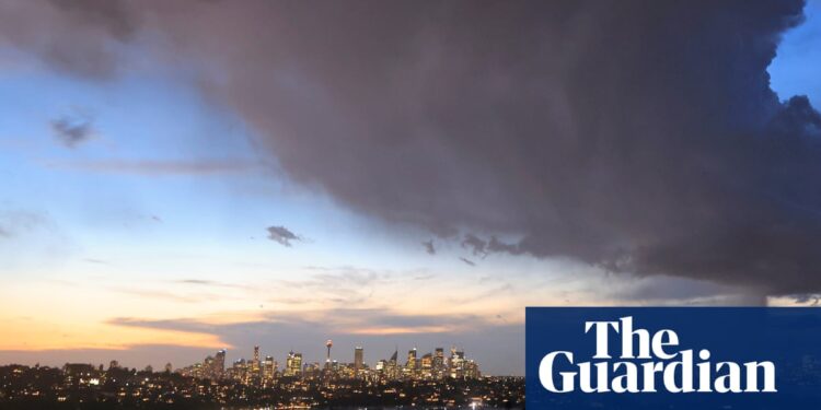
The heatwave baking much of eastern Australia will rapidly make way for conditions offering the “perfect ingredients” for thunderstorms later this week, raising risks of heavy rainfall and even flash floods.
Temperatures were due to soar towards 40C on Tuesday and Wednesday in parts of western Sydney, or as much as 12C above average, the Bureau of Meteorology forecast.
Much of eastern New South Wales is in a low- to severe-intensity heatwave that will linger into Thursday. Temperatures in Sydney’s city centre are forecast to exceed 30C for three days in a row, with Tuesday’s predicted top of 31C the highest since March.
Allow content provided by a third party?
This article includes content hosted on embed.bsky.app. We ask for your permission before anything is loaded, as the provider may be using cookies and other technologies. To view this content, click ‘Allow and continue’.
The heat may strain power supplies in NSW and Queensland as consumers crank up air-conditioners, although the risk of blackouts has receded.
Almost 6 gigawatts of coal-fired power plant capacity is offline for unplanned or scheduled maintenance, Australian Energy Market Operator data shows. Light winds and possible cloudy conditions on Wednesday may also limit renewables’ generation.
“Based on current forecast conditions, Aemo has assessed that reserves (electricity supply to meet demand) are manageable in NSW for today despite rising temperatures,” a spokesperson said on Tuesday.
“However, ongoing heatwave conditions combined with significant generation outages in NSW tomorrow and Thursday remain a risk.”
A cut-off low-pressure system over South Australia will combine with a trough over eastern NSW to drag in tropical moisture. The arrival of an upper-level low will then create “perfect ingredients for volatile thunderstorms” as the heatwave ebbs, according to Ben Domensino, a senior meteorologist at Weatherzone.
“Once this heat does get flushed out, we’re looking at a few days of rain and thunderstorms,” he said. “Some areas could well pick up more than 100mm.”
For now, weather models vary as to where the heaviest falls will land. The bureau’s Access model, for instance, has substantial rainfalls in western and eastern NSW, while the main European model has totals of 40mm 50mm over Sydney in coming days, according to Domensino.
Allow content provided by a third party?
This article includes content hosted on embed.bsky.app. We ask for your permission before anything is loaded, as the provider may be using cookies and other technologies. To view this content, click ‘Allow and continue’.
The thunderstorms could bring some “notable impacts”, Domensino said. “It’ll be a pretty quick transition from the sunny, hot weather to wet and stormy weather with the potential for flash flooding.”
On present forecasts, the bureau has Sydney collecting falls of as much as 10mm on Thursday, 20mm on Friday and 25mm on Saturday, with the chance of thunderstorms on the first two of those days.
Canberra has a chance of thunderstorms for the three days, while Melbourne may get a storm on Wednesday.
after newsletter promotion
The widespread rain will have the side benefit of reducing bushfire risks for now. Fire dangers in NSW, Queensland and other eastern states remain moderate to high.
In Western Australia, about 180 kilometres north of Perth, residents in a popular fishing village and rural area have been told to evacuate as an out-of-control bushfire bears down.
An emergency warning was issued for parts of Wedge Island and Cooljarloo in the Shire of Dandaragan.
“You are in danger and need to act immediately to survive,” the Department of Fire and Emergency Services said in an alert on Tuesday.
“There is a threat to lives and homes. If the way is clear, leave now for a safer place.”
For parts of eastern Australia, more warmth should build from the middle of next week. Sydney may see the mercury back into the 30s for a few days as summer formally gets under way.
“At this stage, it doesn’t look like it’ll be as hot as this heatwave,” Domensino said.
– with Australian Associated Press


