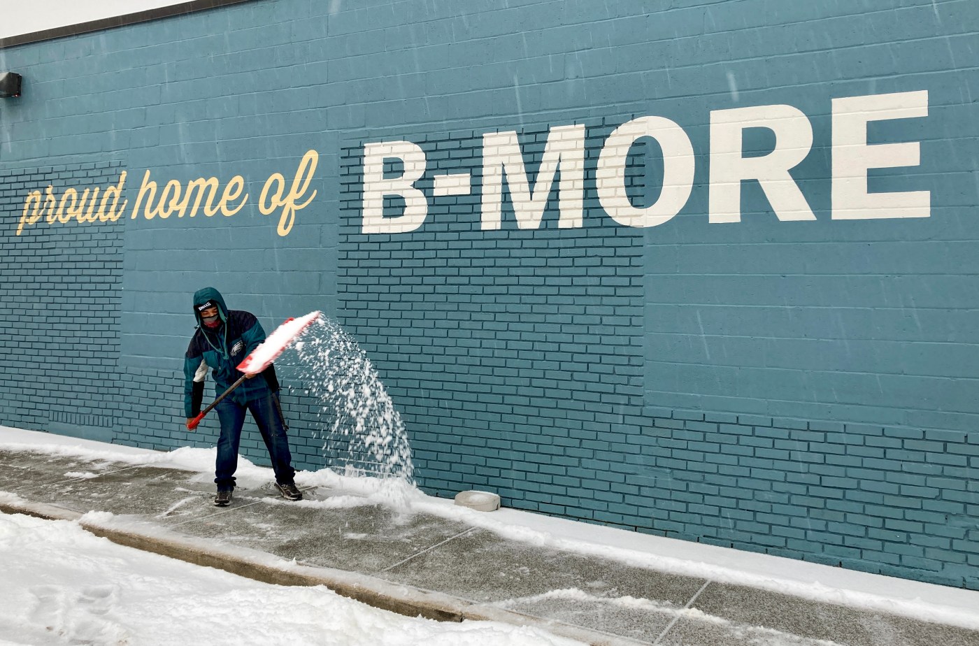

More wintry weather is likely on the way to the Baltimore area.
Wednesday begins with a slight chance of snow after 7 a.m. before turning cloudy, with a high near 38.
[Get the latest weathercast from FOX45 News]
The evening is expected to bring rain, snow and sleet before 3 a.m., and continue through the night The sleet could be heavy at times, and the low will around freezing levels at 32. The new snow and sleet accumulation of less than a half inch is possible, according to the National Weather Service.
The chance of precipitation by nightfall is 100%, presenting slippery conditions that could affect Thursday morning’s commute.
The rain and sleet are predicted to continue into Thursday morning before gradually ending. The high is forecast to reach 46. There could be more rain after nightfall between 7 p.m. and 1 a.m. with a low around 40. The chance of precipitation is 30%.
The sun is anticipated to shine to end the workweek Friday, with warmer temperatures and a high around 51. The evening is expected to be mostly cloudy, with a low around 28.
The potential for rain and snow returns Saturday with an 80% chance of precipitation, a daytime high near 37 and a low around 35 overnight.
Sunday should be sunny and warmer with a high near 50.
Have a news tip? Contact Todd Karpovich at [email protected] or on X as @ToddKarpovich.


