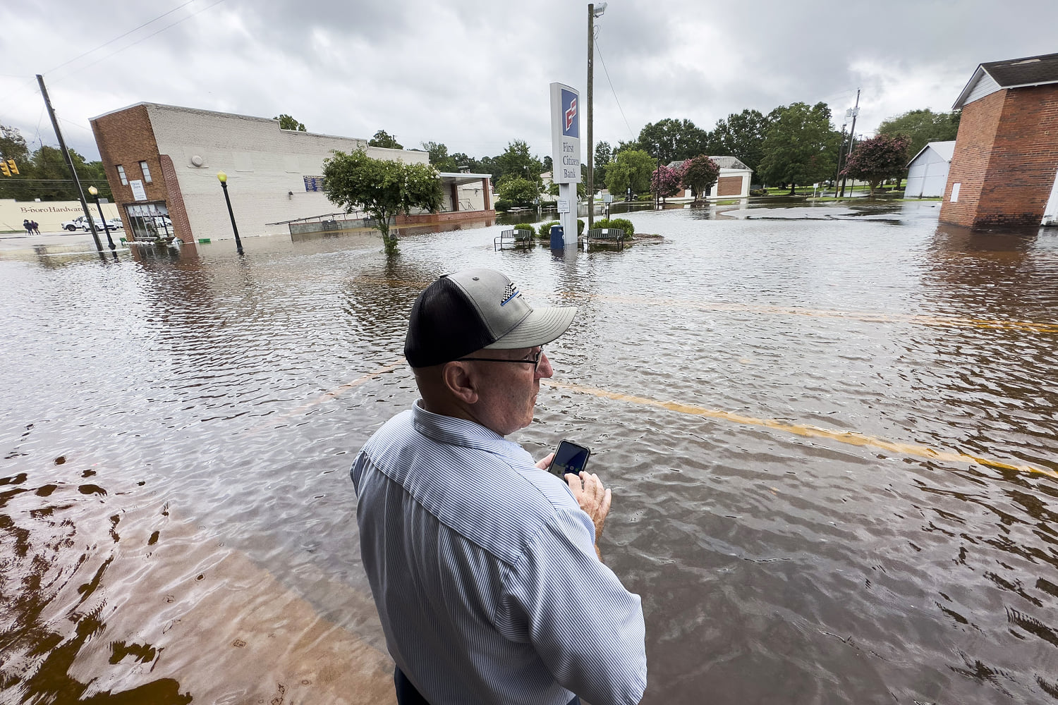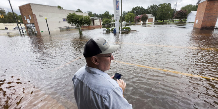
From the Mid-Atlantic to New England, the East Coast was being inundated with rain and severe weather from the remnants of Debby on Friday, bringing dangerous flash flooding and the threat of tornadoes.
Flood warnings and watches stretched from the Carolinas up to New England, where parts of Vermont, already hit by extensive flooding twice last month, braced for another extreme weather event Friday.
The only good news seemed to be that Debby’s remnants were headed to southeastern Canada over the weekend and would be followed by a rare respite for those weary of summer heat, with below-average temperatures coming to a most of the nation in the coming days, forecasters said.
Debby’s influence remained strong on Friday, when the National Weather Service warned that rainfall could reach 15 to 25 inches in the Northeast and New England. More than 35 million people from South Carolina to Vermont are under flood watches or warnings on Friday.
New York Gov. Kathy Hochul and New Jersey Acting Gov. Tahesha Way declared emergencies on Friday in response to the flooding potential. Pennsylvania Gov. Josh Shapiro issued a disaster proclamation on Friday that covers 21 counties affected by the front, allowing residents and businesses to access help rapidly, his office said in a statement.
Hochul’s office said flash flooding, severe thunderstorms and the possibility of tornadoes prompted her to take action that included the deployment of swift-water rescue teams throughout her state.
“It is important for New Yorkers to remain vigilant and stay off the roads,” Hochul said in a statement Friday.
Wary of flash flooding in neighboring New Jersey, Way said in a statement, “If you must drive, slow down and use extra caution.”
Major flooding hit Tioga County, Pennsylvania, and neighboring Steuben County, New York. Marc Rice and Shane Nickerson with the Tioga County Board of Commissioners said in a video update on Facebook that medical evacuations were underway.
Steuben County officials issued mandatory evacuation orders for the south side of the village of Addison, citing upstream flash flooding in Tuscarora Creek that they said has caused some property damage and could be life-threatening.
In the nearby hamlet of Jasper, 17 miles west of Addison, mandatory evacuations were issued as a precaution Friday after an unspecified number of propane tanks were damaged by floodwaters, according to a statement from Steuben County government.
The National Weather Service office in Johnson City, New York, near the Pennsylvania border, said daily rainfall records were set on Friday in Syracuse, New York, where more than 2.05 inches of rain fell. Binghamton, New York, measured 1.94 inches of rain and Avoca, Pennsylvania, saw 1.43 inches, according to the service.
Hershey Park in Pennsylvania announced it would shut Friday “given the inclement weather from Tropical Storm Debby.”
More than 362,000 utility customers in Ohio, New York, Pennsylvania, New Jersey and Vermont were without power early Friday evening, according to utility tracker PowerOutage.us.
At least 1,451 flights within, into or out of the United States were canceled Friday because of the weather, according to FlightAware. More than 8,400 flights were delayed.
LaGuardia Airport and John F. Kennedy International Airport in New York urged travelers to check with their airline for status updates.
Downed trees caused train delays Friday morning, Amtrak Northeast said in a post on X, telling riders that service between New York’s Penn Station and Stamford, Connecticut, was delayed “due to rail congestion incurred from downed trees blocking the tracks in the area.”
Friday’s New York Yankees game against the Texas Rangers was rescheduled to Saturday.
Along Debby’s northeastern path, many areas will receive 3 to 7 inches of rain, enough to produce “considerable to locally catastrophic flooding impacts through tomorrow morning,” the weather service said. At least seven people are known to have died as a result of Debby.
Further south, train service between Union Station in Washington, D.C., and Richmond Staples Mill Station in Virginia was also delayed.
In a statement Friday night, Gov. Roy Cooper said that even though the storm has moved out, its impacts, including dangerous floodwaters, would continue to affect the state through the weekend. “North Carolinians should continue to exercise caution and heed directions from Emergency Management officials in the coming days,” he said.
Debby has weakened since it first arrived in the United States and was downgraded to a tropical depression Thursday, after making its second landfall in South Carolina. It was downgraded again Friday to a post-tropical storm with winds of 30 mph. It is moving northeast at 35 mph.
Its main threat remains to be the sheer amount of rain it can produce. Coastal flood warnings and advisories remain in place for many locations adjacent to water along the Mid-Atlantic coast as persistent and strong winds push water inland to normally dry areas.
Authorities in Berkeley County, South Carolina, said early Friday that 2 to 3 feet of fast-moving water was rushing through streets of Moncks Corner, north of Charleston, prompting multiple rescues.
The waters were high enough for kayaking in Longs, South Carolina.
A strong cold front stretching southwest from the Great Lakes through the Plains is pushing Debby to the Northeast and also bringing very low temperatures for August. The central Plains, the middle Mississippi Valley and northern Minnesota could see record lows Friday, with some areas 20-25 degrees below daily averages.


