MANKATO, Minnesota — Devastated communities across the Midwest are picking up the pieces after days of flooding that has destroyed homes, roads and public facilities, with yet more storms likely to hit this week.
Recovery efforts and evacuations are taking place against the backdrop of extreme heat, with 33 million people across the southern Plains, Lower Mississippi Valley and the Southeast under some form of warning. Temperatures could reach the upper 100s in places.
More than 220,000 energy customers were without power as of 6 a.m. ET, according to the PowerOutage website, which tracks energy connections. As of Wednesday morning 24 rivers were classed as in a major flood stage, with two more expected to join them.
Entire communities in Minnesota were submerged Tuesday. “We literally watched our childhood wash over the bank,” Louise Henderson, from Blue Earth County, Minnesota, told NBC News. She described watching trees and entire buildings being washed away.
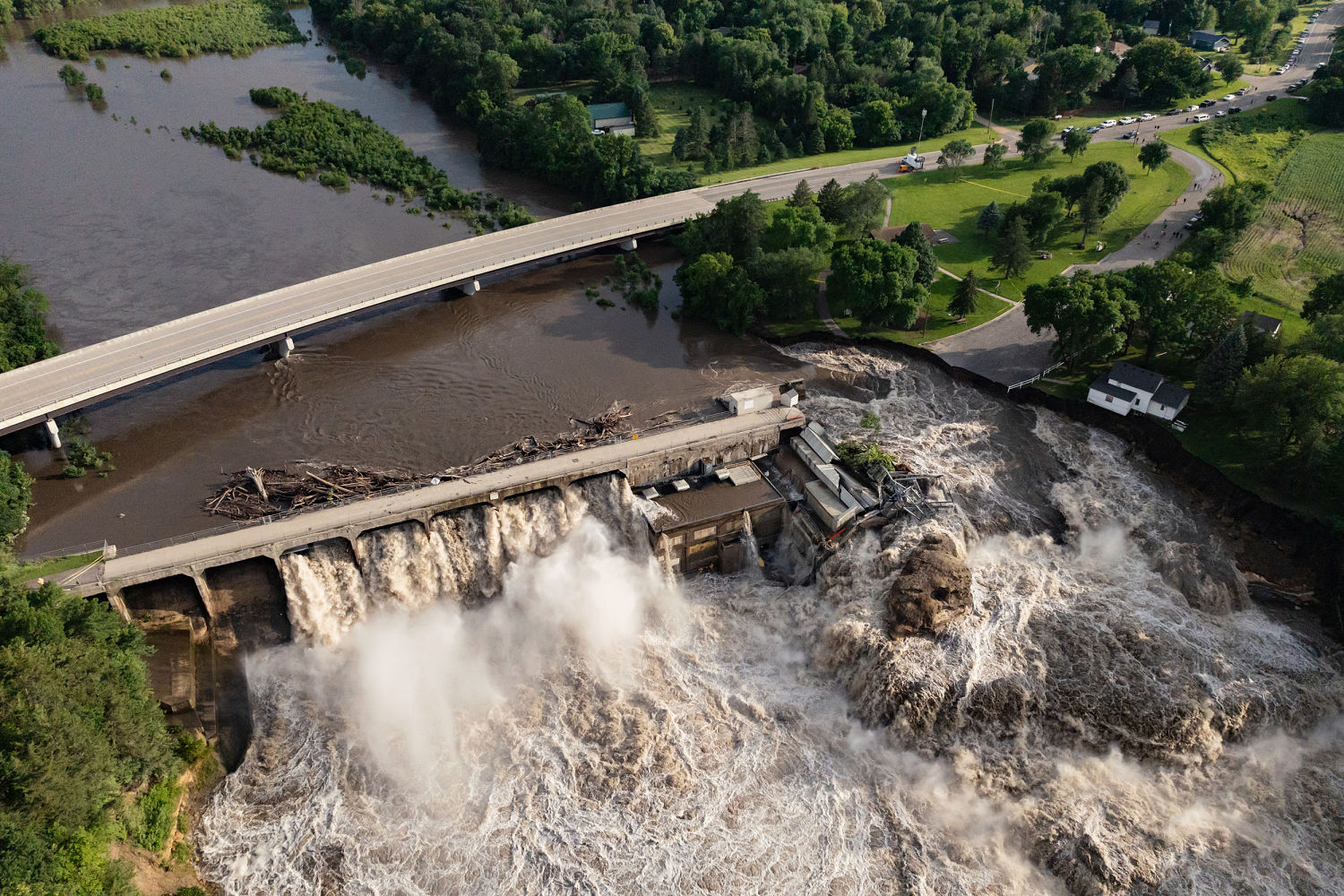
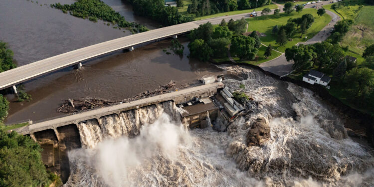
Part of a house right next to Rapidan Dam, near Mankato, Minnesota, fell into the raging waters, Blue Earth County officials said Tuesday. Officials said Monday the dam was at risk of “imminent failure.”
Jenny Barnes, who grew up in the house, said the family had accepted there was no way to save their home. Aerial footage showed part of the house dangling over the surging river, as the water erodes its foundations. An Xcel Energy substation and a park storage building have been swept away by the waters.
The dam is facing its second worst flood surge, behind the flood of 1965 that disabled it for 10 years, according to NBC affiliate KARE of Minneapolis.
The stricken dam has become something of a local attraction, with people turning up to take photos. But officials have warned that the ground is unstable and should someone fall into the rushing waters, there is no way to save them.
Aerial drone footage showed entire houses underwater in South Dakota, with roads turned to rubble and cars floating away.
In McCook Lake, South Dakota, Kathy Roberts was able to escape with just her cat and the clothes she was wearing. “I have no ID right now. I have nothing,” she told NBC affiliate KTIV of Sioux City.
“I heard screaming outside and looked outside and I had neighbors that had water rushing into their place and water was slowly rising in my driveway,” she said of Sunday’s flood. “Within eight minutes, I was leaving my house and driving through water that was up over my step rails on my Jeep.”
South Dakota Gov. Kristi Noem visited the area on Tuesday and said: “My heart goes out to the families on McCook Lake whose homes were destroyed by this flooding,” while urging locals to stay away unless escorted by public safety officials.
“We are working on a schedule for families to get their belongings. Until then, downed power lines, sinkholes, and other threats make it too dangerous to go in alone,” Noem said.
Monona County officials went door to door Tuesday in Turin, Iowa, a city 45 miles southwest of Sioux City that had a population of 72 in 2020, to warn that the Little Sioux River was due to crest there. If anyone planned to stay, they were told they needed to be ready to leave at a moment’s notice, KTIV reported.
Barricades have been erected around the county, and people could face arrest if they go beyond them.
FEMA teams are set to visit six counties affected by floods in Iowa. President Joe Biden declared a major disaster in the state and made federal funds available to individuals and businesses on Tuesday.
The threat of extreme weather in the Midwest is not over.
Missouri is expected to bear the brunt of storms on Wednesday night, with the I-95 corridor expected to be impacted early Thursday morning.
Some 61 million people in an area stretching from New York to Kentucky are at risk of severe wind Wednesday evening, with 60 mph winds, hail larger than an inch across and a few possible isolated tornadoes. So far this month, 80% of the U.S. population has experienced above-average temperatures. Phoenix, Las Vegas and Reno, Nevada, are among the cities currently experiencing their hottest June on record.
Severe storm warnings and watches were in place Wednesday across large parts of the Midwest, from Nebraska to Indiana, including Kansas City, Missouri, and Springfield, Illinois.
The National Weather Service said heavy rainfall could accompany any stronger storms in the area surrounding Sioux City on Thursday and into Friday. However, only .25 inches to 1 inch of rain is expected to fall on the worst affected areas — between 1 and 2 inches is forecast to fall south of flooded areas.
Adrienne Broaddus reported from Mankato, Iowa; Patrick Smith reported from London.


