Geoff Bennett:
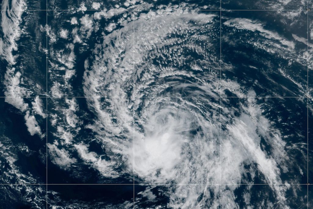
This summer has brought a relentless stretch of extreme weather across the country, from deadly flash flooding in the Grand Canyon to hurricanes threatening Hawaii and prolonged heat across parts of the country.
Experts are now watching the climate and weather patterns driving some of these extremes and warning that their effects could persist well into 2027.
William Brangham has more.
William Brangham:
Many climatologists and meteorologists say one factor shaping this hot, tumultuous season is the potentially record-breaking El Nino that’s brewing out in the Pacific Ocean. Its dramatic warming of the ocean could shift weather patterns around the world. This year’s El Nino is so potent that many are calling it a Super El Nino.
And one of those people raising the alarm is Jeff Berardelli. He’s a meteorologist at WFLA in Tampa Bay.
Jeff, great to have you back on the program.
First off, just give us a primer again on what an El Nino is and why this one seems so potent.
Jeff Berardelli, Chief Meteorologist, WFLA-TV:
So El Nino is a warming of the surface waters of the Eastern Tropical Pacific Ocean.
Typically, the warmest water is in the Western Pacific subsurface, so below the ocean. A lot of heat builds up for years and years, and when conditions are right and the winds weaken, all that warm water can slosh over to the eastern part of the Pacific basin.
And that changes weather patterns around it, kind of causes somewhat of climate chaos around the globe because of this distribution of heat being changed from the Western Pacific into the Eastern Pacific, and this one is a big one.
William Brangham:
And why is this one — do we know, why is this one so particularly large?
Jeff Berardelli:
Well, this is going to be the largest that we have ever seen by a long shot.
And part of the reason for it is all of this excess heat that’s building up in the ocean from global warming. All this heat is then trapped. About 90 percent of the excess heat is trapped in the ocean. It is stored, and then eventually it comes back to haunt us.
Right now, we’re looking at the probability that this is going to max out around an anomaly, a water temperature anomaly near four degrees Celsius in the Eastern Pacific. The old record is 2.8 degrees Celsius. So it’s not just slightly above record territory. It is way above record territory.
Part of the reason is, we have all this excess heat that is building up because of global warming. And so some of that heat in part is being used to fuel this El Nino.
William Brangham:
So we have got this tropical storm that’s just about to hit the Gulf, Edouard. There’s three seemingly massive hurricanes in the Pacific right now. Is this the kind of thing that we should expect from a supercharged El Nino?
Jeff Berardelli:
This is exactly what we should expect, and exactly what our seasonal models told us to expect months and months ago. It’s really warm in the Tropical Pacific, and thus we’re seeing a lot of strong hurricanes there.
In the Atlantic, it’s warm, but there’s a lot of wind shear, and stronger wind shear means that the storms that try to get going in the Atlantic get torn apart. So the Pacific is active and the Atlantic very inactive, with the exception of Edouard, right?
And the reason it formed in the Gulf is because that’s the one area of the Atlantic less impacted by El Nino, and wind shear is actually below normal in the Gulf, but it’s at record-setting pace everywhere else in the Atlantic.
William Brangham:
So given that the Eastern Pacific is so hot right now, we’re already seeing these three major hurricanes, what are we likely to see in this country this year and next?
Jeff Berardelli:
Right.
So this is particularly an east-based El Nino, meaning that a lot of its effects are not in the Central Pacific, but skewed to the Eastern Pacific, and that’s when we see the biggest impact here in the U.S. because we are closer to the Eastern Pacific.
So the way it looks right now, according to our climate models, seasonal models — and I have no reason to doubt them because they have been very good this summer and they have been very good so far — they are saying it’s going to be very wet across the U.S. South, especially the southeast U.S. and Florida, and we could see multiple outbreaks of severe weather. It’s certainly possible.
We may end up seeing a wetter-than–average, if not a lot wetter-than-average winter in the Pacific, especially California. So, California, it could turn out to be a very rainy winter. Where it is rainy, it’s also going to be more cloudy, and thus it will be cooler. So we’re expecting it to be cool in the southern part of the U.S., but not necessarily cold.
We’re talking cool because of cloud cover and lack of sun, but not cold air outbreaks. I don’t think we’re going to see many cold air outbreaks across the U.S. And snowstorms are going to be a little tougher to get because it’s probably going to be warm in the northern tier of states, especially in the Great Lakes, and also in the Northeast.
William Brangham:
You mentioned before the impact of global warming on all of this and climate change. We know that El Ninos exist and that they exist absent climate change. Now that we have climate change overlaid onto this system, what is the connection between those two factors?
Jeff Berardelli:
Well, there’s debate in the climate community.
A paper just came out saying that el Ninos are getting stronger because of global warming. And it is true that the absolute heat that’s available to these El Ninos is definitely a lot more than it used to be. So that is for certain.
But here’s the thing. All the oceans are warming, and the way that we determine the impacts of El Nino is, how warm is the Eastern Pacific relative to the rest of the oceans in the world? So the Eastern Pacific is warming and it’s got a lot more heat, but the other oceans are also warming, and they have a lot more heat, and thus it kind of nullifies the impact a little bit.
William Brangham:
All right, that is meteorologist Jeff Berardelli.
Thank you so much, as always.
Jeff Berardelli:
You’re welcome.